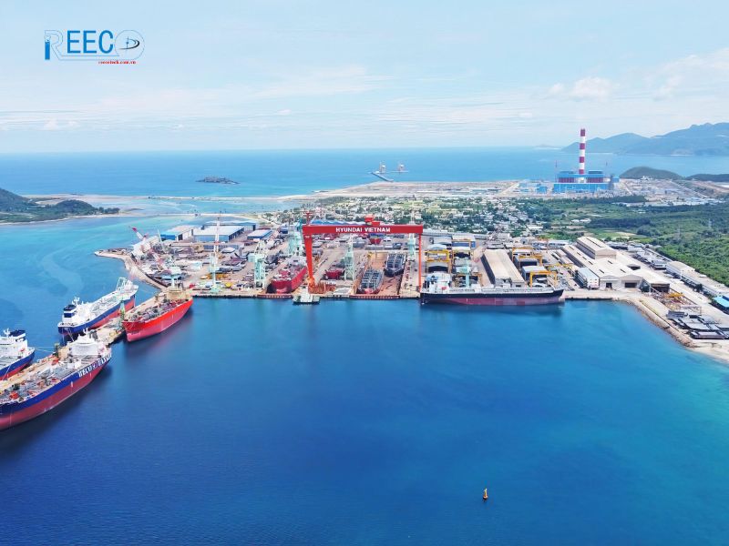
With over 3,000 large and small islands and a coastline of over 3,000km, Vietnam is home to many developing economic sectors, providing livelihoods for about half of the country’s population. However, the coastal areas of this country often face severe impacts from natural disasters, causing great damage to people and the economy.
In 2020, a series of severe and historic natural disasters occurred nationwide, including 14 storms, 1 natural disaster accident, 265 lightning and thunderstorm events, 120 flash floods and landslides, 90 earthquakes, severe droughts, saltwater intrusion, riverbank and coastal erosion, as well as subsidence of sea dykes in the Mekong Delta.
The coastal tourism industry mainly relies on beaches and pristine ecosystems, however, up to 42% of hotels built in coastal areas are located near eroding beaches.
Each year, people living in coastal areas face many natural disasters such as storms, rising water, high waves, tides, coastal erosion, drought and saltwater intrusion. Of these, storms and rising water are considered the types of natural disasters that pose the risk of risk to coastal areas of Vietnam.
Importance of hydrometeorological monitoring
The network of hydrometeorological stations plays an important role in collecting hydrometeorological data at sea for basic surveys, scientific research and especially for research and assessment of sea level rise due to climate change, ensuring sovereignty over territorial waters and national security at sea.
Hydrometeorological data is the basis for building strategies, planning, plans, projects for developing the marine economy and coastal areas; projects, warning of natural disasters and dangerous weather phenomena, effectively serving the prevention, avoidance and mitigation of damage caused by natural disasters of marine origin.
Hydrometeorological monitoring solutions for the future
In the near future, the risks of natural disasters caused by storms, rising water, high waves, tides and saltwater intrusion for coastal areas are predicted to increase with the speed of urbanization, the demand for economic development and due to the impact of climate change. In order to strengthen the resilience of coastal areas of Vietnam, the World Bank has proposed a number of actions, including the task of “Upgrading the efficiency of the early warning system”.
Thus, in order to minimize marine natural disaster risks, coastal natural disaster risks and ensure the sustainable livelihoods of coastal people, the importance of improving the efficiency of marine hydrometeorological forecasting and warning is really necessary and urgent.
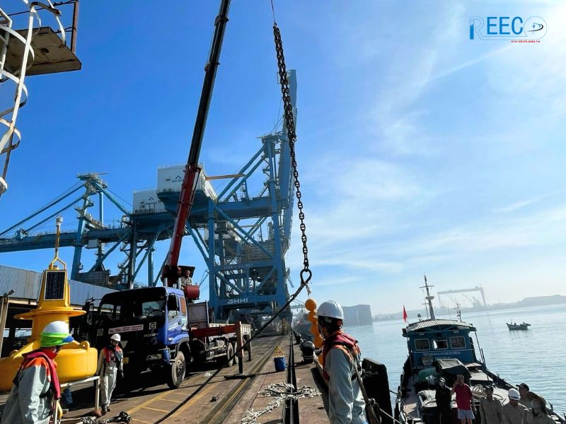
Professor Dr. Tran Hong Thai – Director General of the General Department of Meteorology and Hydrology – said: The hydrometeorological sector is gradually improving and upgrading the monitoring network system, increasing the proportion of automatic monitoring stations, forming a specialized information system to synthesize centralized databases, investing in high-performance computers, applying breakthrough forecasting technologies to transform forecasts, meeting the needs, reliability in timeliness and effectiveness for socio-economic development. The goal by 2030 is to develop a synchronous network of automatic marine hydrometeorological monitoring stations towards increasing the density of automatic stations to 70% compared to the current number. Developing mobile buoy and fixed buoy type hydrometeorological stations in offshore areas where there are no island stations with a density of 100km per station by 2030, reaching a density of 50km per station by 2045. Automate 100% of coastal weather stations”.
For a country like Vietnam, which is “sheltering from storms in the morning and preventing the sun from burning in the afternoon” all year round, focusing on developing the remote marine hydrometeorological monitoring network will help Vietnam be proactive in all developments of natural disasters from the sea.
Source: Lao Dong Newspaper


