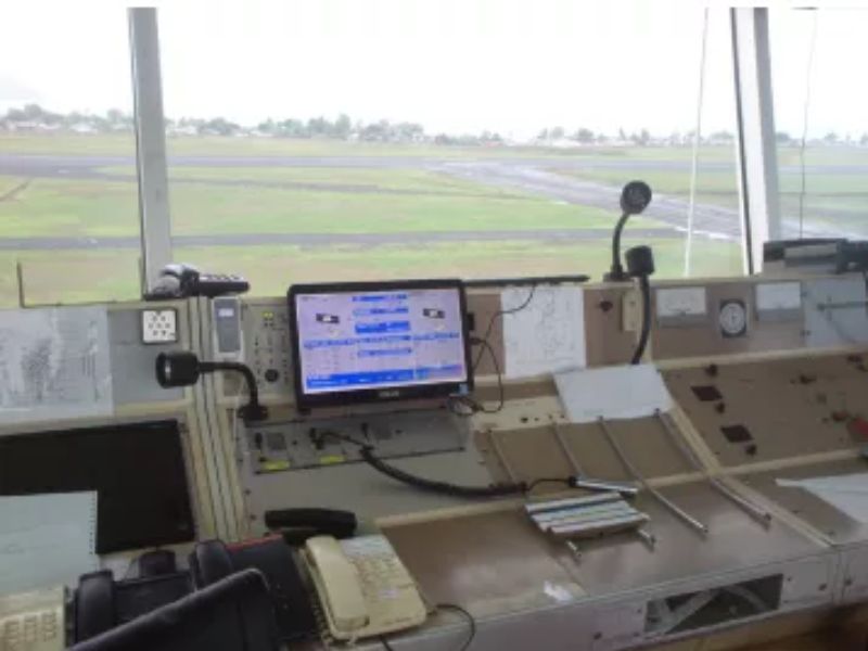
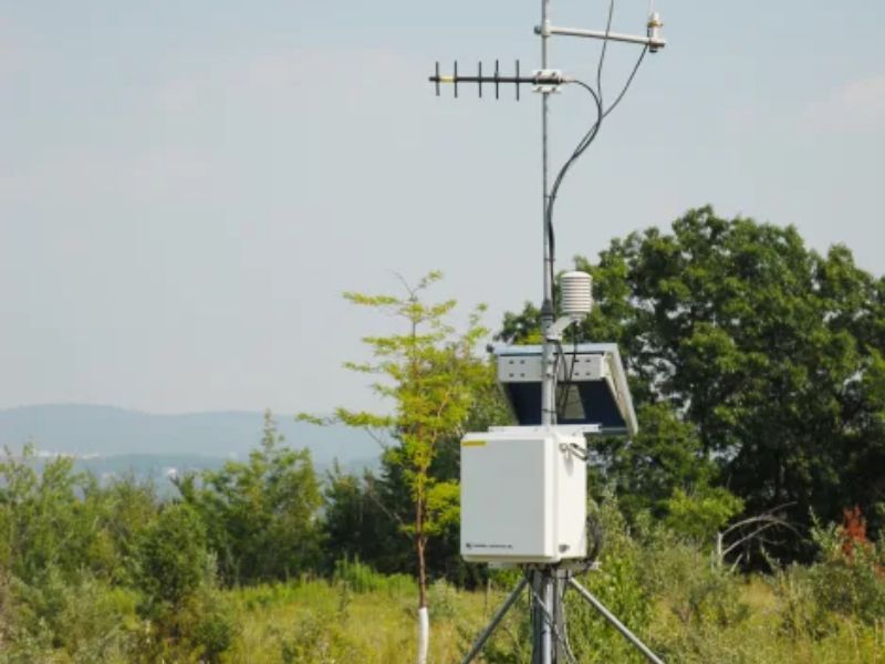
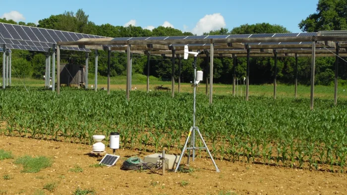
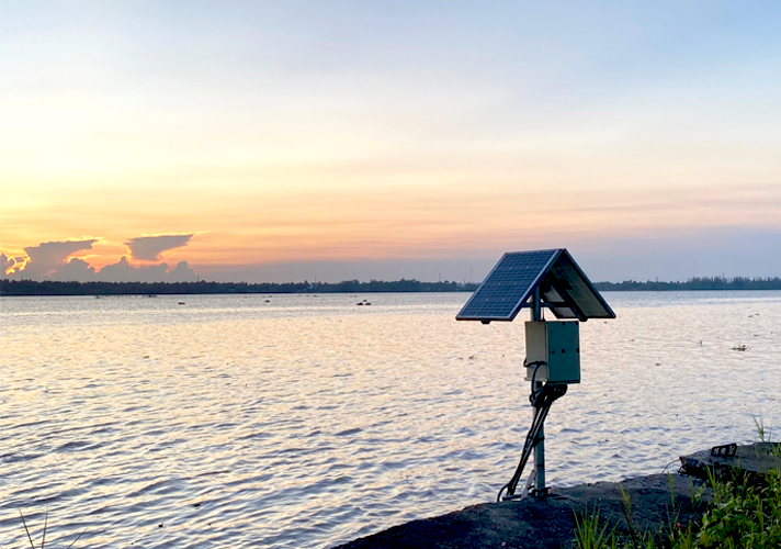
Airports across the world are faced with the challenge of procuring, installing, and maintaining Automated Weather Observing Systems (AWOS) that help them achieve their primary objectives of ensuring passenger safety, optimizing operations, and increasing capacity. The day-to-day challenges each airport faces require solutions that meet their specific needs while ensuring compliance with International Civil Aviation Organization (ICAO) and World Meteorological Organization (WMO) standards.
Product
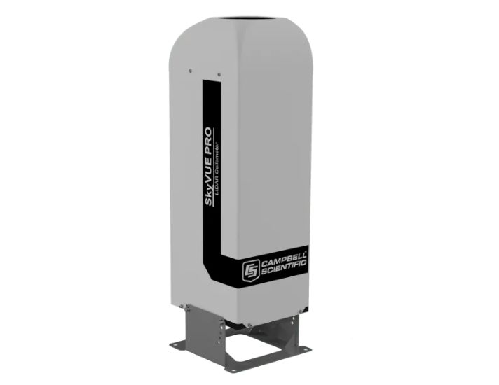
SkyVue PRO LIDAR Ceilometer
The SkyVue™PRO LIDAR Ceilometer measures cloud height and vertical visibility for meteorological and aviation applications and is ideal for long-term research applications where a high level of detail is required.
Its robust construction is ideal for long-term installation, as it requires minimal maintenance and features a unique stratocumulus calibration procedure—allowing the ceilometer to be calibrated in the field.
The SkyVue PRO complies with CAA, WMO, and ICAO guidance and meets or exceeds all recommendations and specifications, including CAP437, CAP670, and CAP746.
With an operational reporting range of 10 km, the SkyVue PRO is easy to use yet boasts advanced signal processing and unique optical arrangements to provide superior resolution and performance.
The SkyVue PRO has many standard features, from a tilting base and two-axis inclinometer for automatic correction of cloud heights to heaters, blowers, and a sun filter for operation under all conditions—making deployments possible around the world.
Unique standard features include an easy-to-operate stratocumulus calibration, long-life back-up battery, and twin clocks to augment its many continuous diagnostic self-checks and provide assurance of continuous, reliable, and accurate performance.
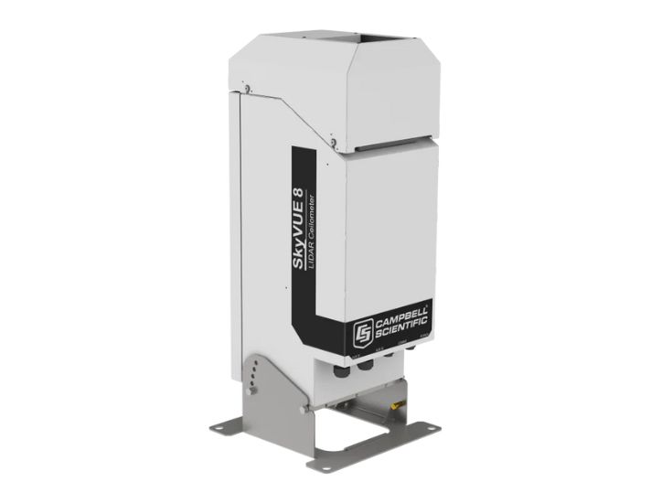
SkyVue 8 LIDAR Ceilometer
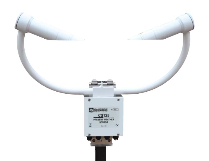
CS125 Present Weather and Visibility Sensor
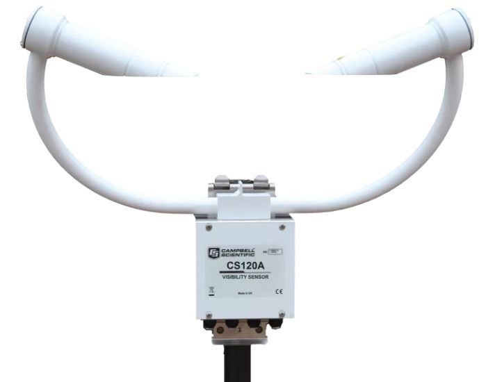
CS120A Atmospheric Visibility Sensor
The CS120A uses tried-and-tested, infrared forward-scatter technology, and it uses the proven 42° scatter angle to report meteorological observable range (MOR) for fog and snow in the range of 5 to 75,000 m (16.4 to 246,063 ft). It combines a high specification with a very competitive price. The CS120A is ideal for stand-alone applications or in combination with automatic weather stations in road, aviation, solar-energy, and wind-energy environments.
For aviation applications, users can be assured that the CS120A complies with UK CAA, FAA, and ICAO guidance and meets or exceeds all recommendations and specifications. (This includes CAP437, CAP670, and CAP746.)
The CS120A is certified by Deutscher Wetterdienst as suitable for use to control wind turbine obstruction light systems as specified by 506/04, General Administrative Rules for the Identification of Aircraft Obstructions.
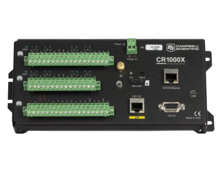
CR1000X Measurement and Control Datalogger
The CR1000X is our flagship data logger that provides measurement and control for a wide variety of applications. Its reliability and ruggedness make it an excellent choice for remote environmental applications, including weather stations, mesonet systems, wind profiling, air quality monitoring, hydrological systems, water quality monitoring, and hydrometeorological stations.
The CR1000X is a low-powered device that measures sensors, drives direct communication and telecommunications, analyzes data, controls external devices, and stores data and programs in onboard, nonvolatile storage. The electronics are RF-shielded by a unique sealed, stainless-steel canister. A battery-backed clock assures accurate timekeeping. The onboard, BASIC-like programming language, common to all contemporary Campbell Scientific data loggers, supports data processing and analysis routines.
Overview
Campbell Scientific is pleased to introduce our new ICAO/WMO compliant CampbellAero™ AWOS solution using Customer-in-Control Technologies™ (CCT). Our CCT solution provides the flexibility to meet the needs of air traffic controllers, meteorological observers, and maintenance personnel at your specific airport through our new CampbellAero software and sensor-agnostic hardware. Our hardware design is based upon Campbell Scientific components that are proven to operate reliably in the harshest of environments for decades.
CampbellAero CCT technologies provide the flexibility today’s airport managers require, including:
-
- Software and hardware that allow easy integration of sensors trusted by airport management
- Workstation displays that air traffic controllers and meteorological observers can customize at any time after installation without scheduling costly and time-consuming projects
- Remote and centralized monitoring of AWOS health, air traffic controller displays, and meteorological observer displays that reduce costs
Campbell Scientific’s CCT AWOS is built with the same proven, rugged, and reliable Campbell Scientific hardware components that have been operating in surface observation networks in the harshest of environments in every continent around the world, including:
-
- Mount Everest
- Antarctica
- Death Valley, California, USA
Campbell Scientific’s new heliport and portable/tactical solutions are based upon our ICAO/WMO compliant CampbellAero solution using CCT technologies. Please contact us for more information.
AWOS Measurements
Depending on the configuration, AWOS measure a combination of the following parameters:
- Barometric pressure (in hectopascals (hPa) / inches of Mercury (inHg)), altimeter setting and density altitude
- Wind speed and wind gusts (in knots), wind direction (from which the wind is blowing) and variable wind direction (in degrees of the compass)
- Temperature and dew point (in degrees Celsius)
- Visibility and variable visibility (in metres/miles)
- Sky condition (in oktas), cloud ceiling height (in metres/feet) and liquid precipitation accumulation (in centimetres/inches)
- Precipitation type (e.g. rain, snow, drizzle) identification
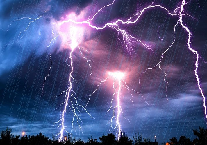
- Thunderstorm detection (via a cloud-to-ground lightning detector)
- Freezing rain detection (via a freezing rain sensor)
- Runway surface conditions.

