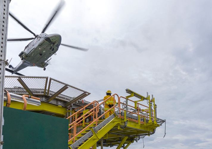
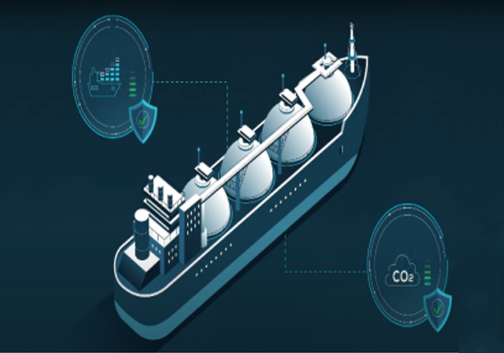
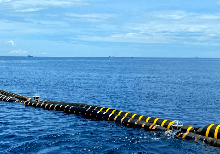
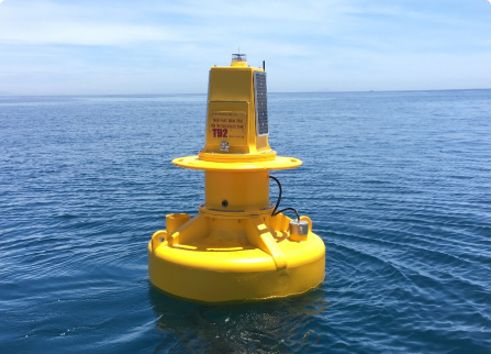
Berthing Aid System (BAS), also known as the BlueEco-BAS, is designed to continuously monitor a ship’s approach to the berth during berthing maneuvers and provide real-time data to relevant parties in a clear and timely manner. The system collects and displays various crucial parameters, including:
-
- Ship’s approach speed (m/s)
- Distance between ship and berth (m)
- Berthing angle (optional)
- Real-time meteorological and oceanographic parameters at the port (wind, currents, water level, waves, etc.)
- Alerts to notify port authorities, pilots, and other relevant parties when readings are within alarm thresholds (as defined by set conditions)
Product
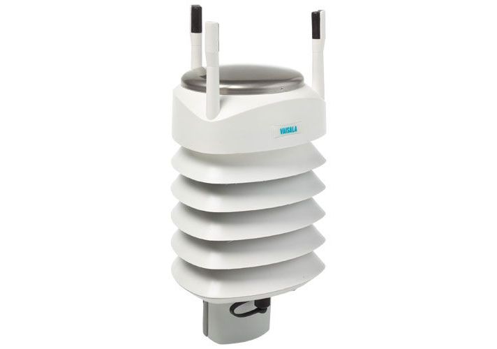
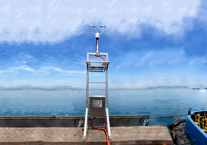
WXT536 Multi-Parameter Weather Sensor
- Low power consumption is ideal for battery powered systems
- No moving parts for durability and long maintenance intervals
- Easy integration with 3rd party data collection platforms
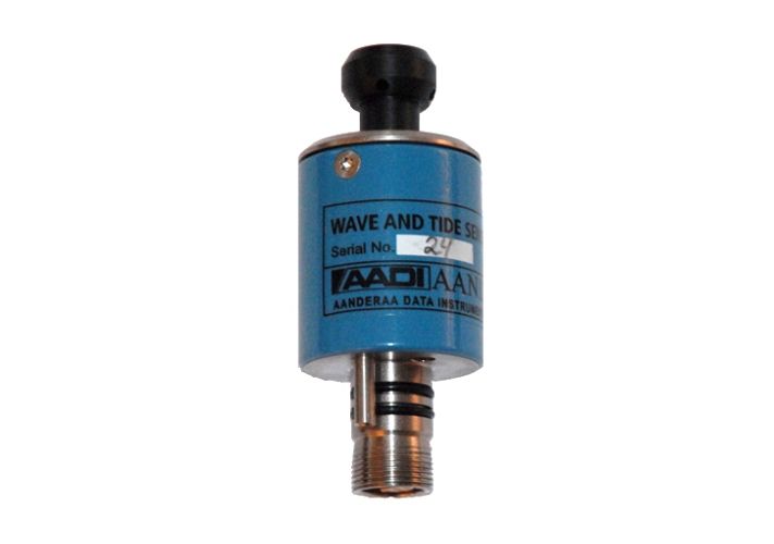
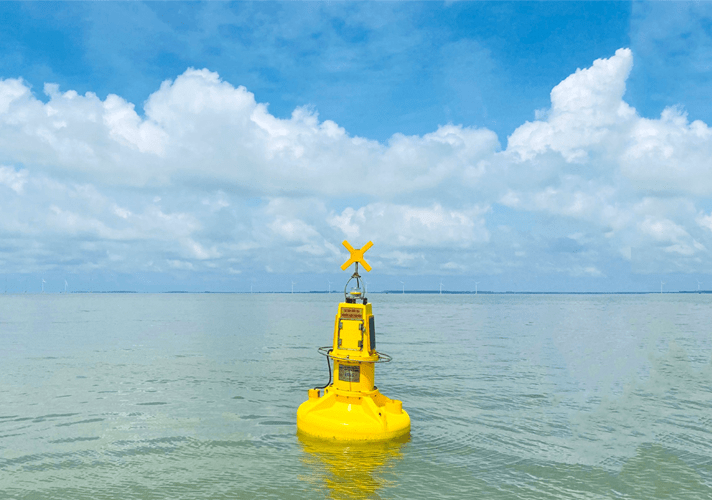
Pressure Based Waves
- Measure pressure, tide level, tidal pressure
- Measure the temperature of the water environment
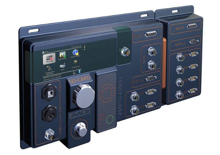
SmartGuard
- Wave and Tide Recorder (not include wave direction)
- Great flexibility: Basic-Extended-Full versions handle air and water sensors
- Flexible easy configuration and setup using PC software
- Fully integrated with Aanderaa real-time system
- Full AiCaP Bus compatibility, including 150 m string with up to 25 sensors
- Plug-n-play Aanderaa Smart sensor interfaces: O2, Conductivity, Temperature, Pressure, Water Level, Tide and Current
- AADI SR10 and VR22 meteorological sensor interfaces: Wind speed and direction, Temperature, RH, Visibility, Air Pressure and more
- Interfaces for most 3rd party RS-232/RS-422 sensors, analog sensors, digital sensors
- XML data records with complete metadata; traceable and with status info on individual parameters
- Large onboard data storage capacity on a removable SD memory card
- External power supply 12- 30V internally regulated
- Up to 6 double ended analog sensor input (0-5V, 24 bit)
- Individual power control for attached sensors
- Low power consumption
- RS-232 communication port with controlled power supply for communication equipment
- Easy readable display and 6 key operator panel
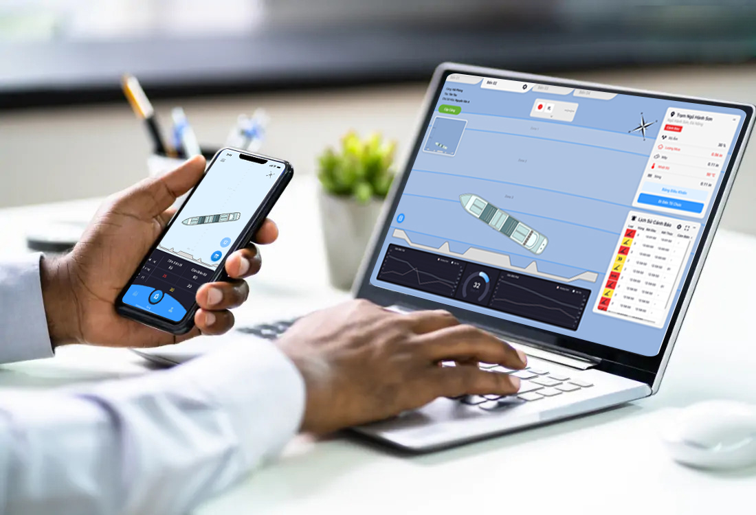
VnEmisoft-BAS: Port Call Support Software
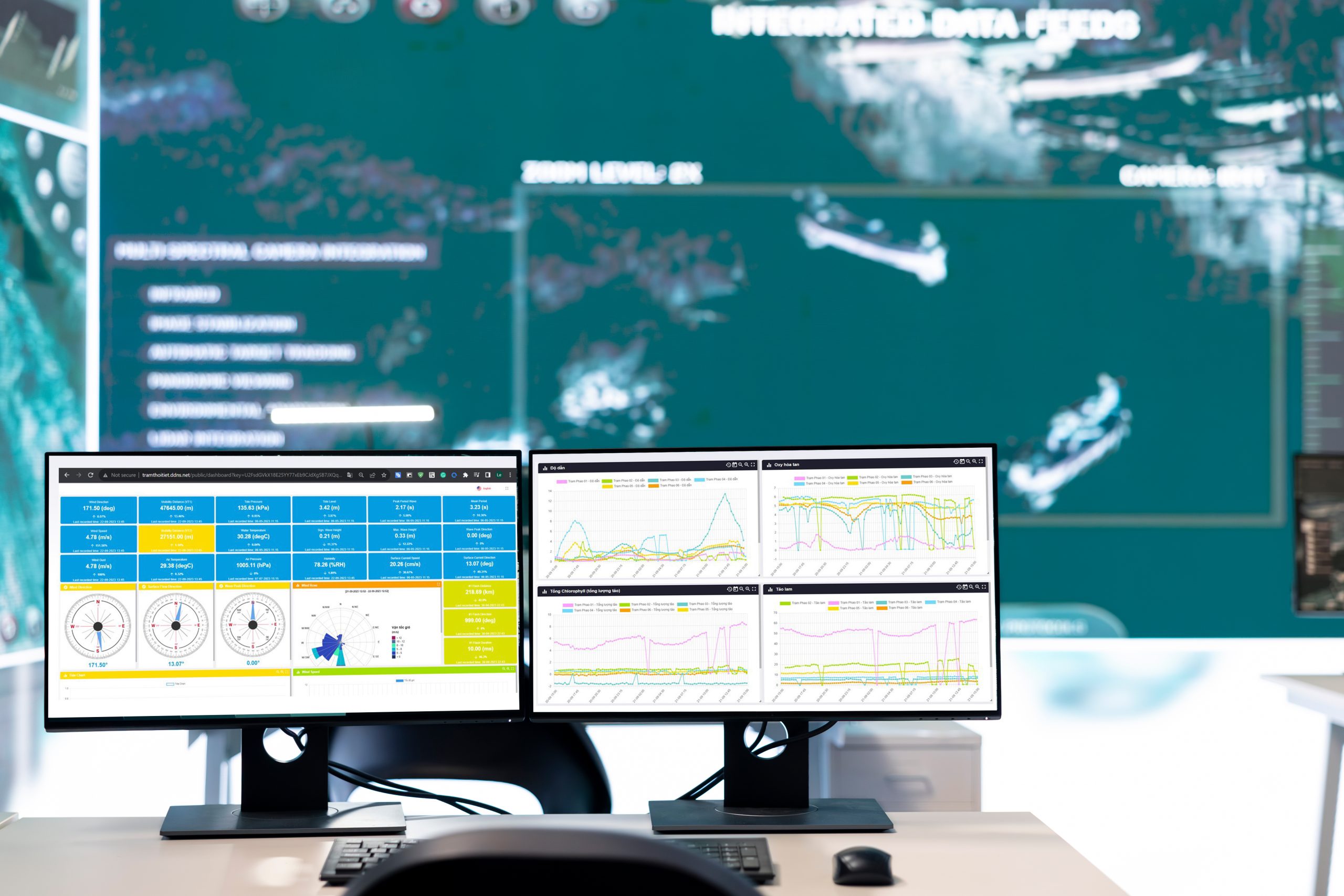
VnEmisoft automatic monitoring data management software
Overview
Module M1: Automated Hydro-Meteorological Weather Monitoring Station at Port
Module 1 is designed to monitor and report critical hydro-meteorological parameters at the port, fully meeting the requirements of Decree 48/2020/NĐ-CP, including:
-
- Wind speed and direction
- Temperature and humidity
- Atmospheric pressure
- Visibility
- Water level
- Waves
- Current speed and direction
Module M2: Ship Berthing Assistance System
Module M2 is installed at each berth, and customers can optionally equip multiple berths within the port. The main components of M2 include:
-
- Two laser-based ship berthing distance and speed measuring devices: one device monitors the berthing distance and speed of the bow and the other monitors the berthing distance and speed of the stern
- Electrical cabinet and devices for power supply, connection, data processing, and transmission
- LED display showing real-time parameters such as ship berthing speed, bow/stern distance from the berth, berthing angle, waves/wind/current,… Large font size on the LED panel, visible from a distance of 300m
- Control software system, setting warnings, and distributing data display to stakeholders (port management, pilots, harbor pilots,…)
VnEmisoft-BAS software
VnEmisoft-BAS monitors the berthing and debarkation process. The system processes data from laser sensors mounted on the port, determines the speed, distance, and calculates the deviation angle of the ship during berthing. The system control software, data display, and distribution to assist berthing ships uses a web-based platform, easy to use on various platforms (Windows, Mac OS, Linux,…) or large LED screens.
The graphics on the screen will be fully customized based on customer requirements and the design/layout of each dock/berth. All data logs are stored for a long time on the server computer in the control room.
The software provides critical information such as distance, angle, and speed, and warnings for each area (settings can be adjusted to suit each berth). The closer the area is to the berth, the speed and inclination of the ship need to be controlled more strictly. The system assists pilots and berth operators in timely monitoring to ensure safe berthing of the ship, significantly reducing the risk of damage from collisions between the ship and the berth.
All data is stored on the server, and reports and data can be exported in table and graph formats. All ship berthing and debarkation processes are stored and can be reviewed for investigation or data analysis to improve operations.


